Last Updated: June 6, 2024 by the Homemade Gifts Coloring Team
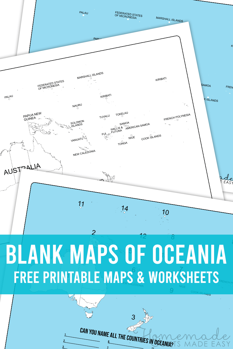
G’day! Whether you’re from the “land down under” (like me) or not, can you identify Australia or New Zealand on a blank map of Oceania? What about the tropical islands of the South Pacific? Check out our free printable blank map outlines, including a fill-in worksheet for identifying the Oceania countries.
Learn all about Oceania – a geographical region in the southern hemisphere that includes Australasia (Australia and New Zealand), Melanesia (Fiji, Vanuatu, Solomon Islands, and Papua New Guinea), Micronesia (2,000 small islands found in the Northwestern Pacific Ocean), and Polynesia (more than 1,000 small islands scattered through the central and southern Pacific Ocean).
Australia is often considered the world’s largest island and is surrounded by oceans full of thousands of tiny islands. It’s a similar size to mainland USA, with a population of around 26 million people. Fun fact – there are more kangaroos than people in Australia!
Oceania spans from the Indian Ocean in the remote west, to the Tasman Sea, Coral Sea, and Pacific Ocean in the east. Then, it goes all the way down to the wild Southern Ocean – where the next stop is Antarctica.
I’ve learned that the best way to learn something is to study it carefully. Simple blank map outlines and printouts such as this map of the Oceania countries, including Australia, are such a help. These maps will help you to learn and study the geography of the world away from the distractions of the internet.
Blank Map of Oceania and Australia Printable to Download
These blank Oceania outlines and maps are great for kids, as well as teachers and parents. The maps are handy for homeschool geography lessons and tutoring, to study for important exams, or even as a fun educational coloring activity for kids. (They might not even realize they’re learning!). Simply download and print the blank maps of Oceania. We hope you find them helpful!
Choose from a blank Oceania map PDF, either showing the outlines of the region’s countries, or our blank map of Oceania quiz and worksheet with its printable answer sheet.
Blank Map of Oceania
This blank map offers a clear outline of Oceania. It’s great for coloring in the countries or learning Oceania’s geography and land features.
Printable Oceania Map Labeled Oceania Countries
Ready to learn the names of the countries of Oceania? This map will help you out. It’s labeled, but the labels are easy to cover and on the side, which makes it perfect for studying and testing yourself. Not to mention, it works as an answer sheet to the below worksheet for when you’re holding a homeschooling geography lesson.
Printable Oceania Map Quiz
Ready to take the quiz on this map of Oceania countries? While some are easy, the smaller island nations will test you and teach your kids. Don’t worry if you get stuck. We have an answer key below!
Okay, now don’t look too soon, because we’re about to give you all the answers:
More Blank Maps and Geography Printables
We have maps of many regions of the world! Our blank map downloads are perfect for homeschooling, tutoring, studying, and even coloring fun. Check out our other map printables:
Take a look at our printable multiplication charts, alphabet coloring pages, and personalizable name tracing worksheets. We also have a coloring pages gallery full of all kinds of fun images for when you or your kids want to take a break from the hard work.


